Initializing

BOOT SEQUENCE…

THERMAL / LIDAR / RGB / IR [ONLINE]

AI: 2 AGENTS / DUAL GPU [ACTIVE]

LINK: ACCORD SYSTEM [ESTABLISHED]

SCAN MODE: ACTIVE

COORD: [37.4419°N / 119.8772°W]

ALT 1,240M | SPEED 74 KM/H

32 CAR / 4 TRUCK / 1 PERSON / 2 UAV

ALERT: THERMAL ANOMALY

COORD: [37.4478°N / 119.8732°W]

TARGET ZONE LOCKED

RESPONSE PATH ILLUSTRATED

ALERT: THERMAL ANOMALY

COORD: [37.4478°N / 119.8732°W]

SIG INTENSITY: 87%

CLASSIFICATION: POTENTIAL THREAT

SURVEY AREA

COORD: [37.4478°N / 119.8732°W]

SIG INTENSITY: 87%

alert: POTENTIAL THREATs

2 DRONES ASSIGNED TO TARGET AREA

2 WILDFIRES + 1 ROADBLOCK DETECTED

COORDINATION PATH ILLUSTRATED

AREA STATUS: SECURED

sensitive area ESTABLISHED

COORD: [37.4478°N / 119.8732°W]

DRONE ASSIGNED TO TARGET AREA

CONFIRMED ON LOCATION

WILDFIRE NEAR ELECTRICAL STATION

FIREFIGHTER UNITS ALERTED

RISK LEVEL: REDUCED

AREA STATUS: SECURED

One platform, many missions.

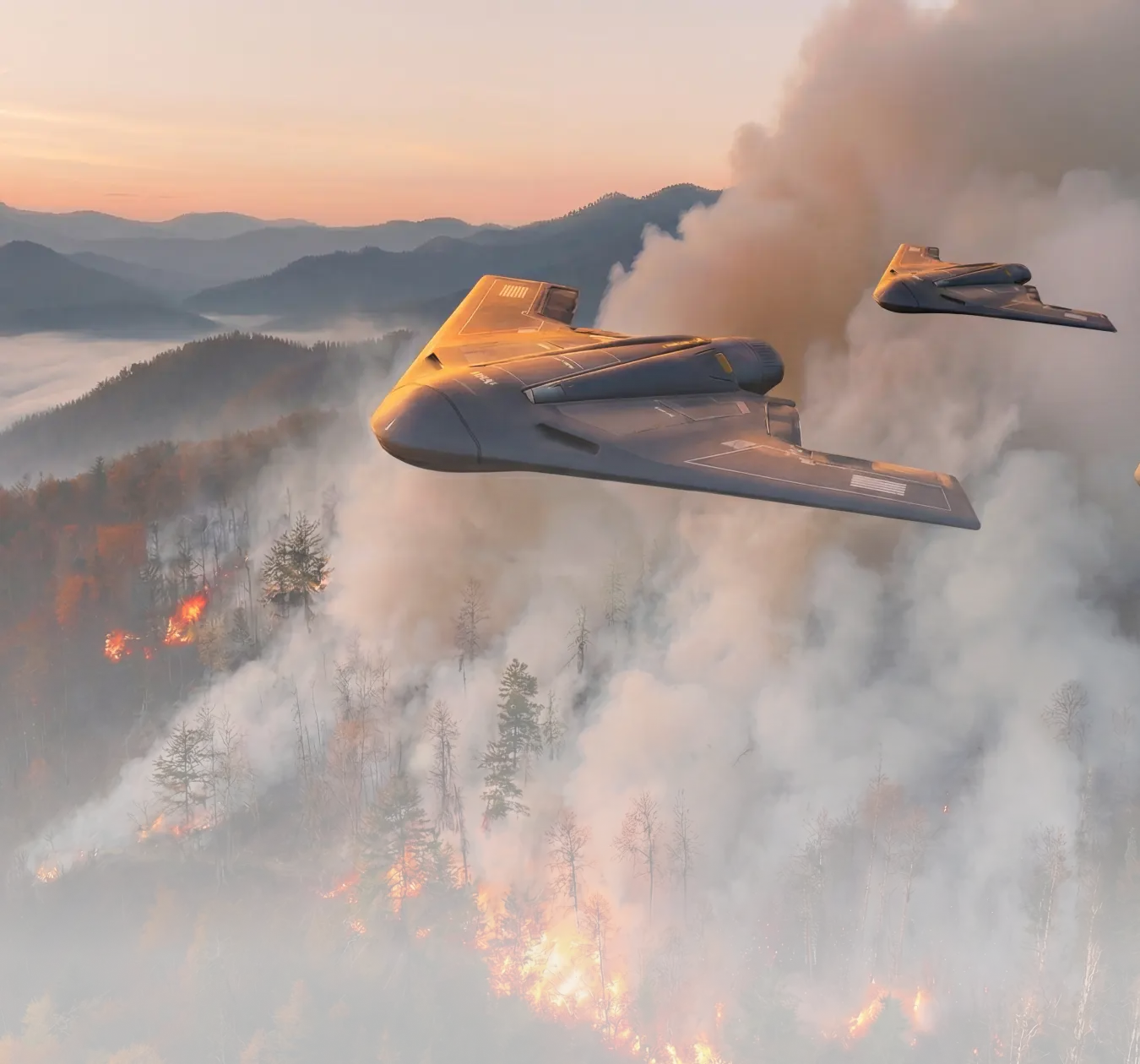
Wildfire Cascade

Wildfire Cascade

Follow a fireline across the landscape. The scene connects an emerging signal, a wider view and the idea of a coordinated response.
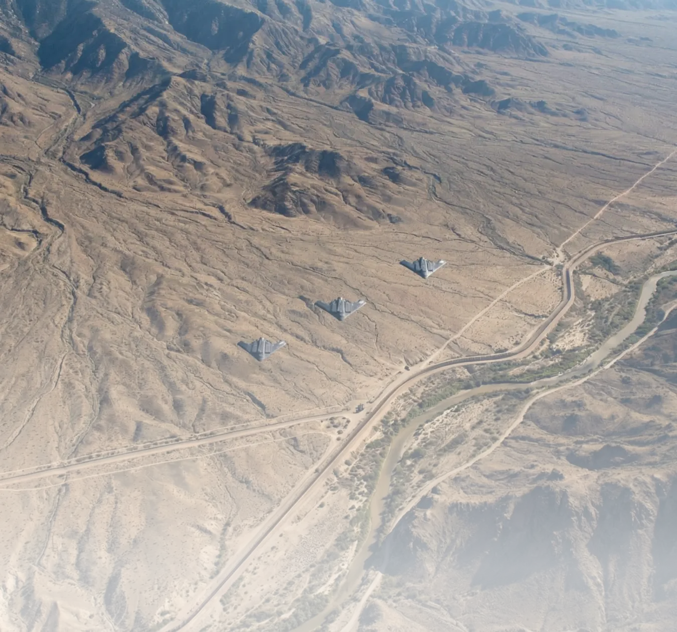
Border Storm

Border Storm

Explore a changing landscape from several aerial perspectives. Observe how distance and terrain affect the relationship between signals.
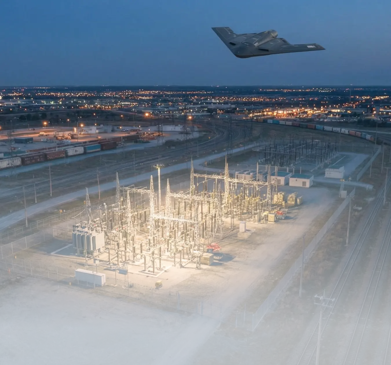
Critical Infrastructure in Crisis

Critical Infrastructure in Crisis

Explore a facility and its surrounding routes as one connected picture. The scene links observation to coordination without claiming a real intervention.

Aerial Accord explores the relationship between wide-area observation and coordinated attention across three aerial scenarios.
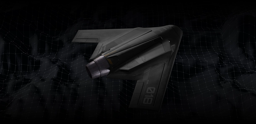
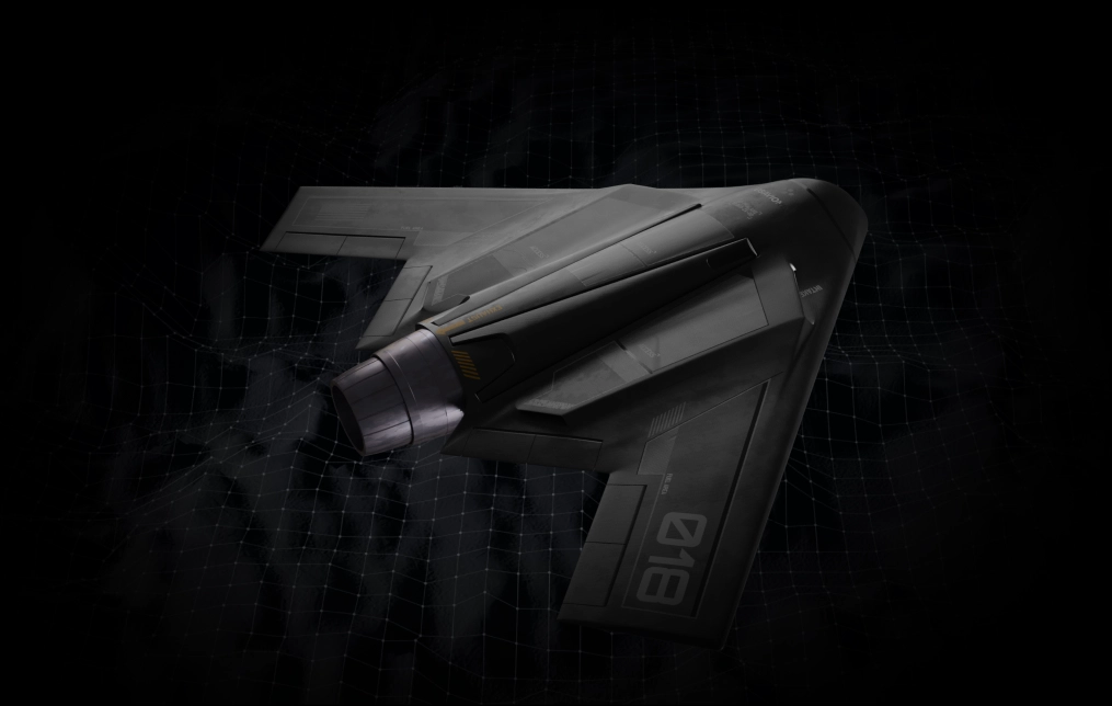
Aerial systems in perspective

Follow the sensing and coordination sequence, then explore the ideas behind the flight.

Aerial Accord explores aerial sensing and shared awareness for the Robinhood ecosystem. Follow the formation from observation to coordinated response.
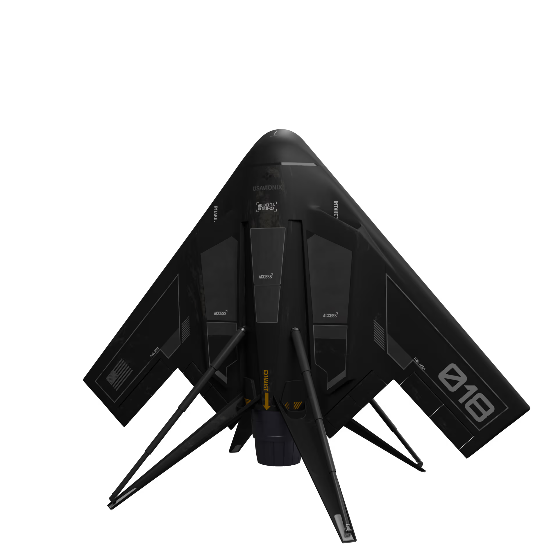
OBSERVEALIGNRESPOND